Groveman said opposition to the proposal comes mainly from developers who don’t want restrictions on where they can build.
A 2016 University of Vermont study found that wetlands and floodplains protected Middlebury from up to $1.8 million in flood damage during Tropical Storm Irene in 2011.
“There is always tension when it comes to development and economic growth,” Groveman said. “But I think it’s clear that it’s not good for anyone to develop in these wetland areas. As storms become more frequent, we will see increased costs associated with flood damage. There is a great need to better protect wetlands and land along rivers and streams.”
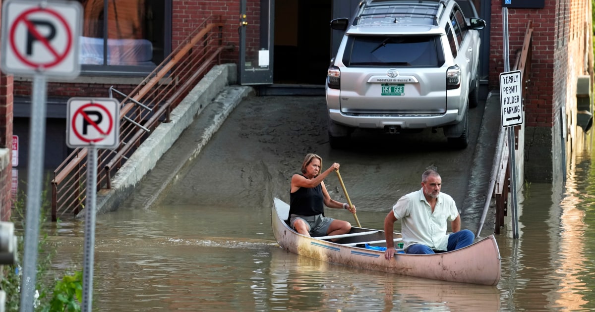
Many communities in Vermont are working to determine how much of their lives and livelihoods they can rebuild after the floods.
Joie and Tony Lehouillier, who run Foote Brook Farm in Johnson, said they lost 80% of their crops and most of their farm equipment. Its lower fields were inundated when the banks of the Lamoille River burst its banks overnight on Sunday.
“Monday night we realized we were going to lose lettuce and onions and we went to bed, but when we woke up everything in our lower fields was gone,” Joie Lehouillier said.
The Northeast Organic Agriculture Association said 100 farmers have reported similar devastation. It’s still early in the assessment phase, but the association said damage is likely to exceed $10 million and create food insecurity for hundreds of people across the state. In addition to the damage, the floods carried heavy metals, sewage and other pollutants onto the land, affecting farmers’ ability to plant new crops until soil tests show safe levels of nutrients and organic matter.
“What happened last week was supposed to be a once-in-a-lifetime flood, and we’ve already had two or three, so we have to think about how we farm in this changing environment,” Joie Lehouillier said.
The Legislature will consider the wetlands proposal when it reconvenes in January. If passed and becomes law, it will also require the state to update and maintain wetland inventory maps annually.

